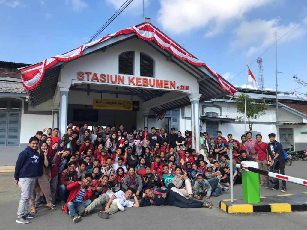
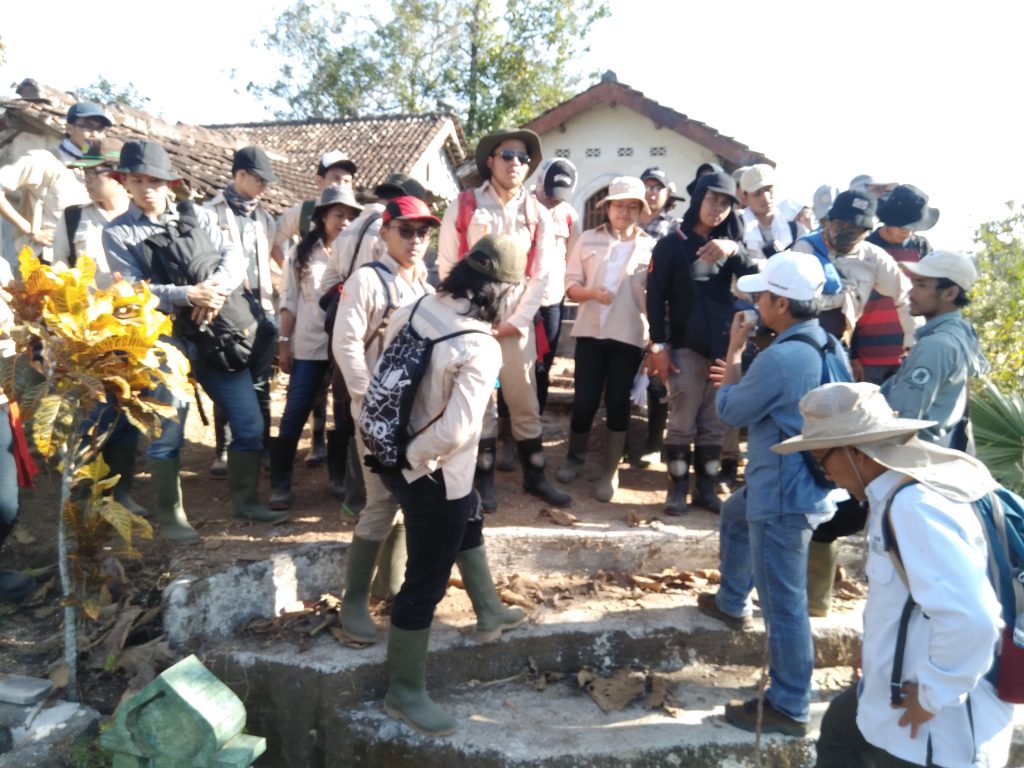
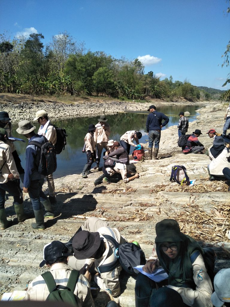
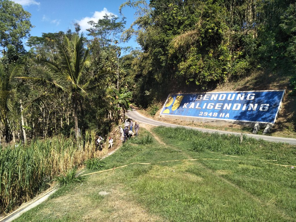
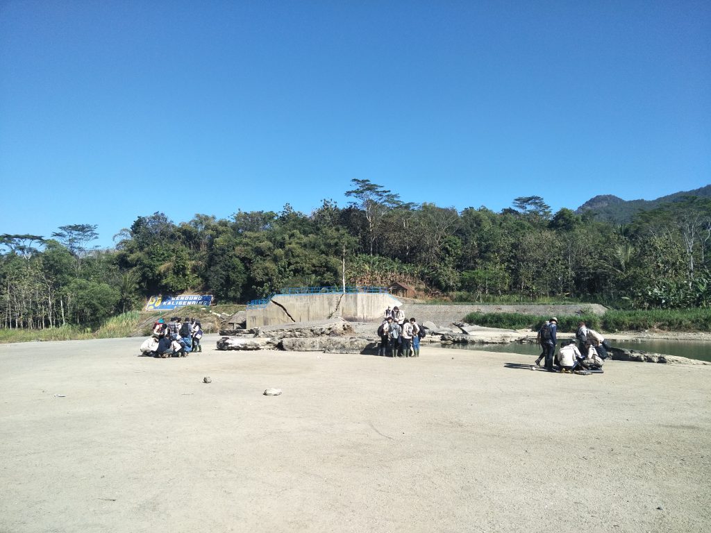
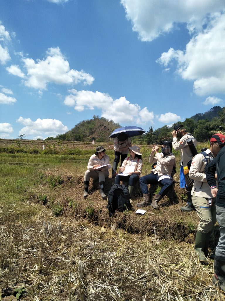
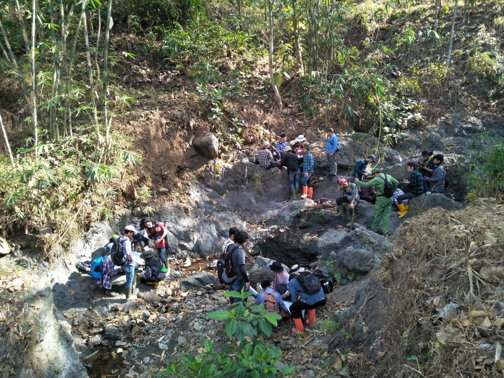
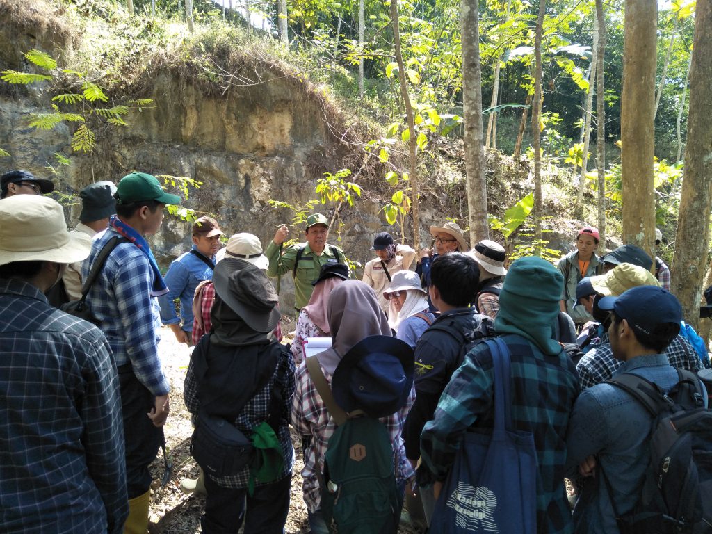
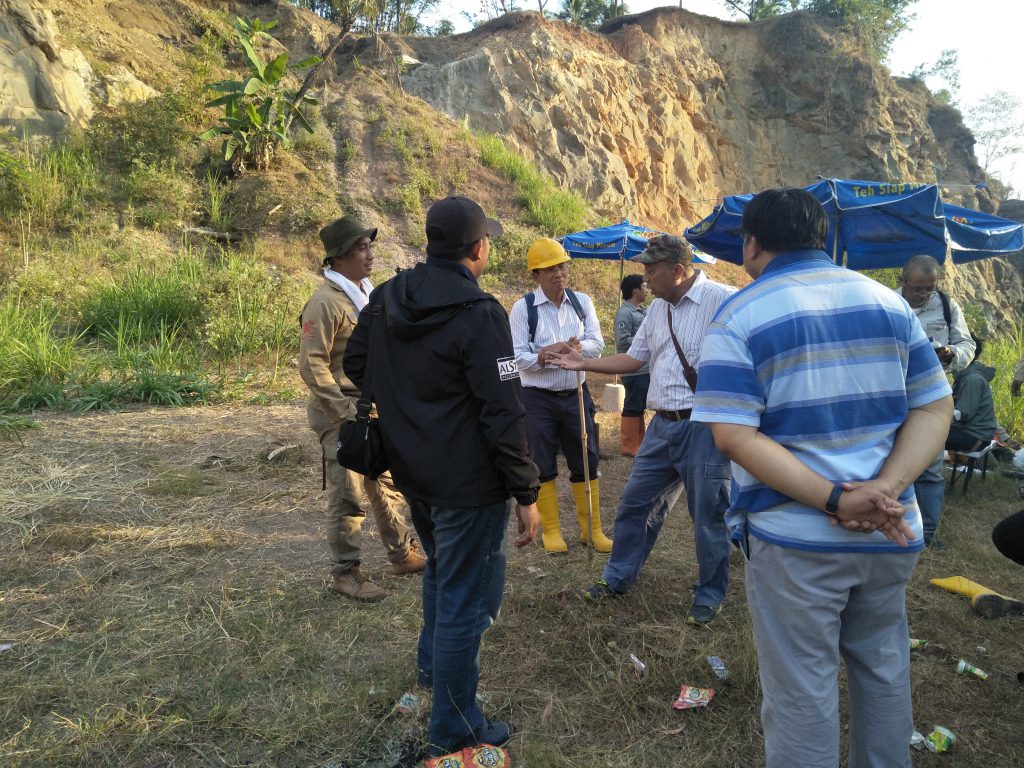
On Monday, August 5, 2019, ITB mining engineering students held a field lecture to Karangsambung, Kebumen. This field lecture was attended by 87 students of Mining Engineering class 2017. 2 students from class 2016 along with 16 assistants and 19 lecturers. This field lecture took place from August 5, 2019 to August 10, 2019. Students and their assistants traveled from Bandung to Kebumen on August 5, 2019. On the second and third days, August 6-7 2019 students started the activity by dividing into 2 groups. , the first group walked towards the north and the other group walked towards the south. The next day, the group that had headed north then walked to the south area, and vice versa. Several observation locations in the southern area include the Kali Gending dam (observation of the layering of claystone, sandstone and tuff), the location of scaly claystone, the foot of Bukit Jatigulung (observation of the contact between claystone and limestone which causes springs due to differences in permeability). , Bukit Jatibungkus(observation of olisostorm formation of limestone on clay rock), Bukit Pesangrahan (observation of conglomerate sedimentary rock outcrops), Kali Jebug (observation of burning effect on clay due to intrusion of diabase igneous rock) and Lok Ulo River (observation of alluvial deposits dam grain size gradations and changes in river flow).
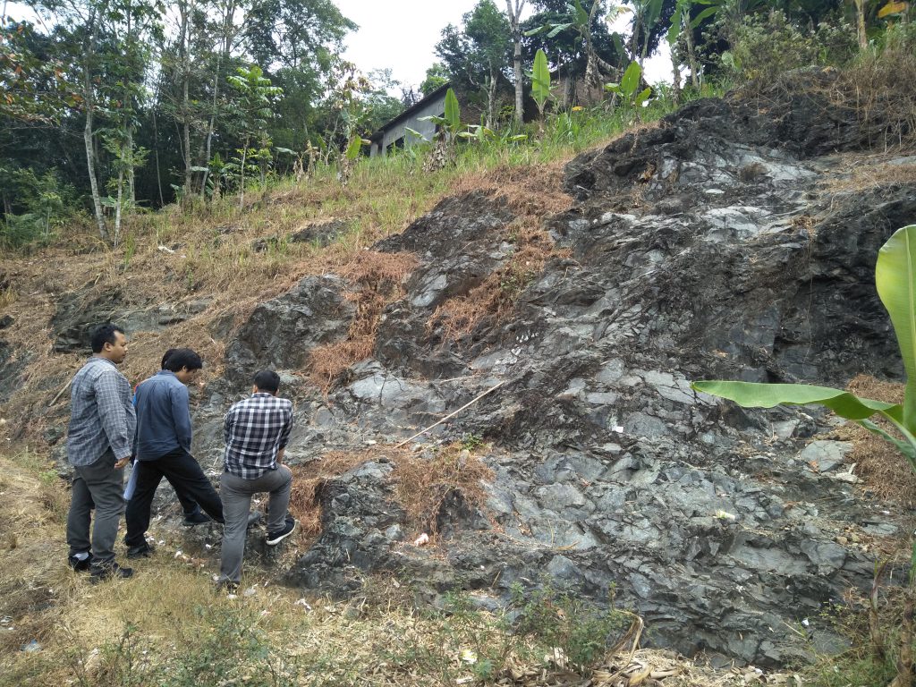
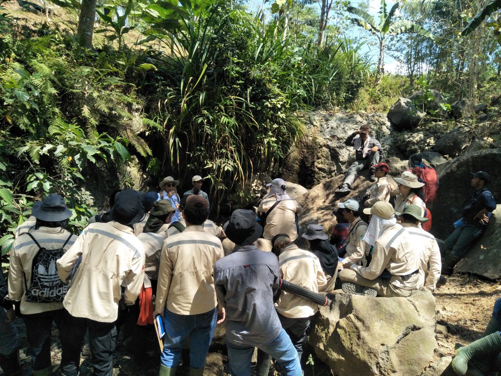
For observation locations in the northern area, among others, are Mandala River (observation of fault breccias and measurement of geological structures), Luk Ulo River (observation of phyllite outcrops), former marble mining sites (observation of marble outcrops), pucagan serpentinite locations (observation of serpentinite rocks which are metamorphic rock from peridotite), Kali Muncang (observation of pillow lava which is above the interspersed red claystone and chert) and Kali Brengkok (observation of mica schist outcrop which is an ocean floor rock which is allegedly the oldest rock on the island of Java). In addition to making observations, participants were also asked to determine the position at each location by way of orientation on the map using a compass and GPS.
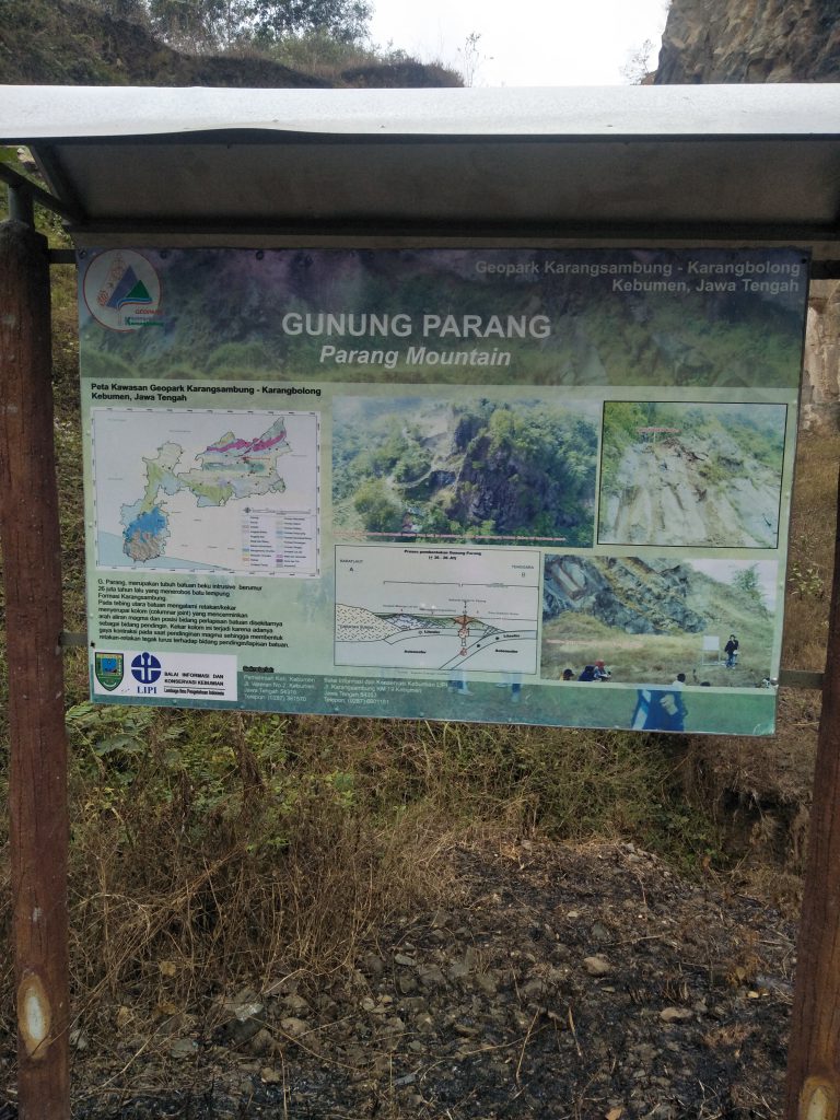
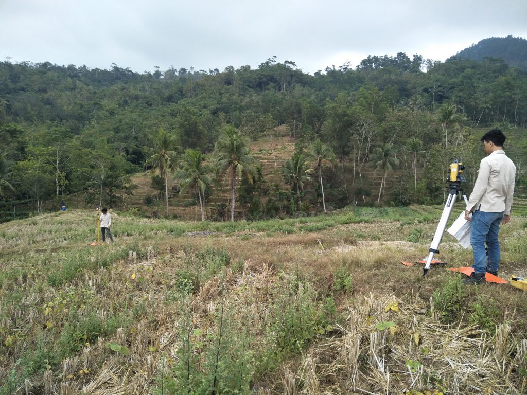
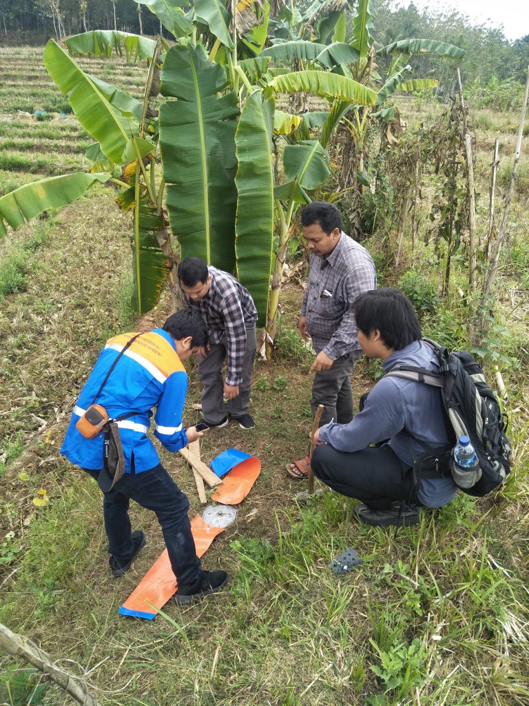
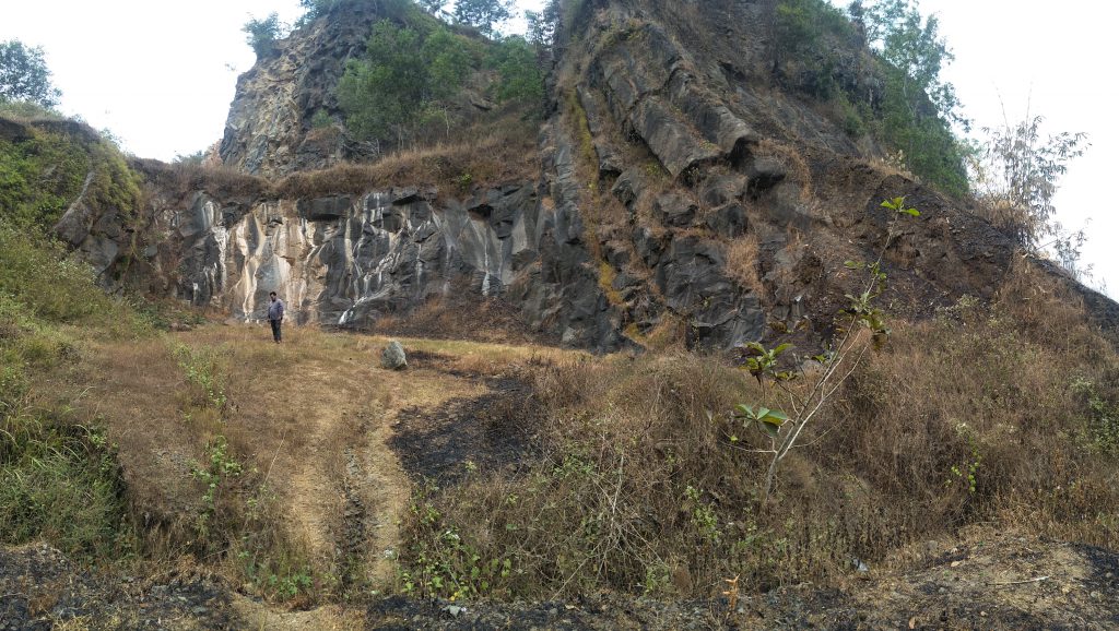
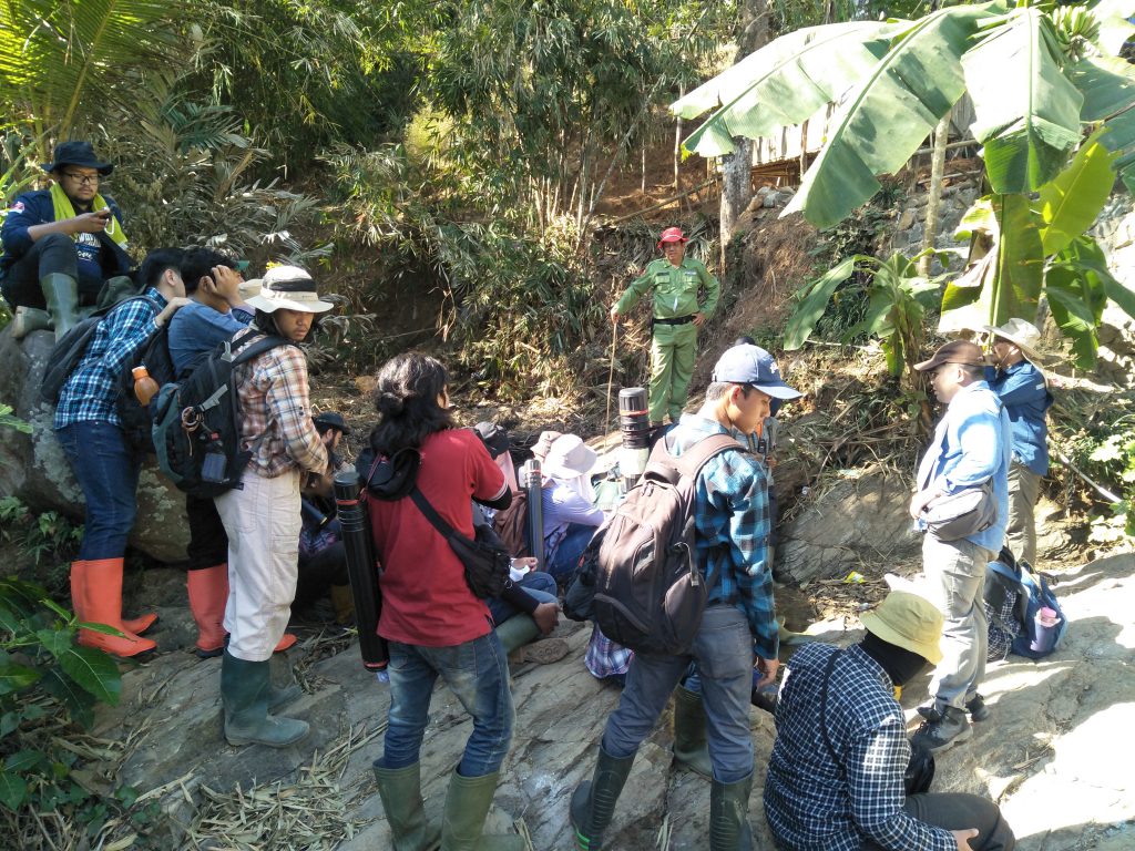
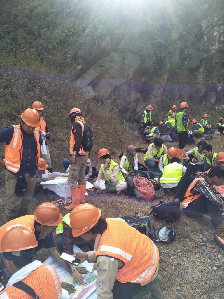
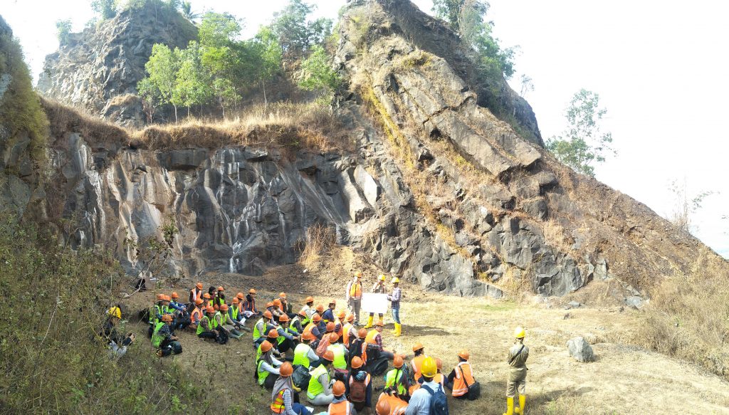
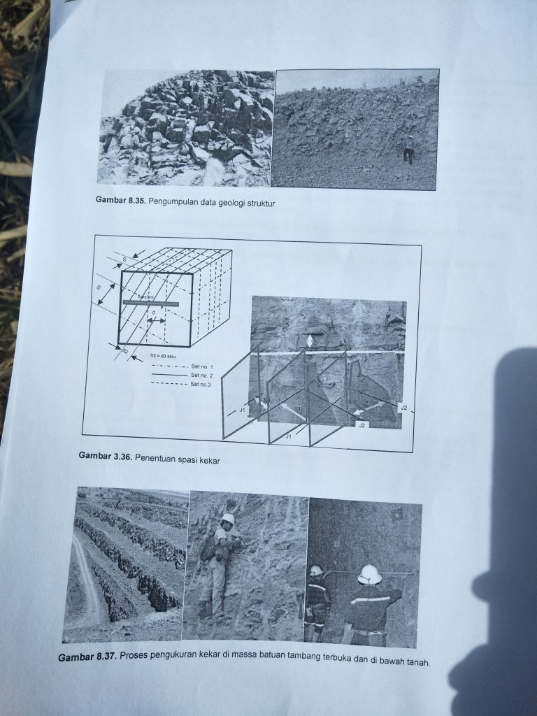
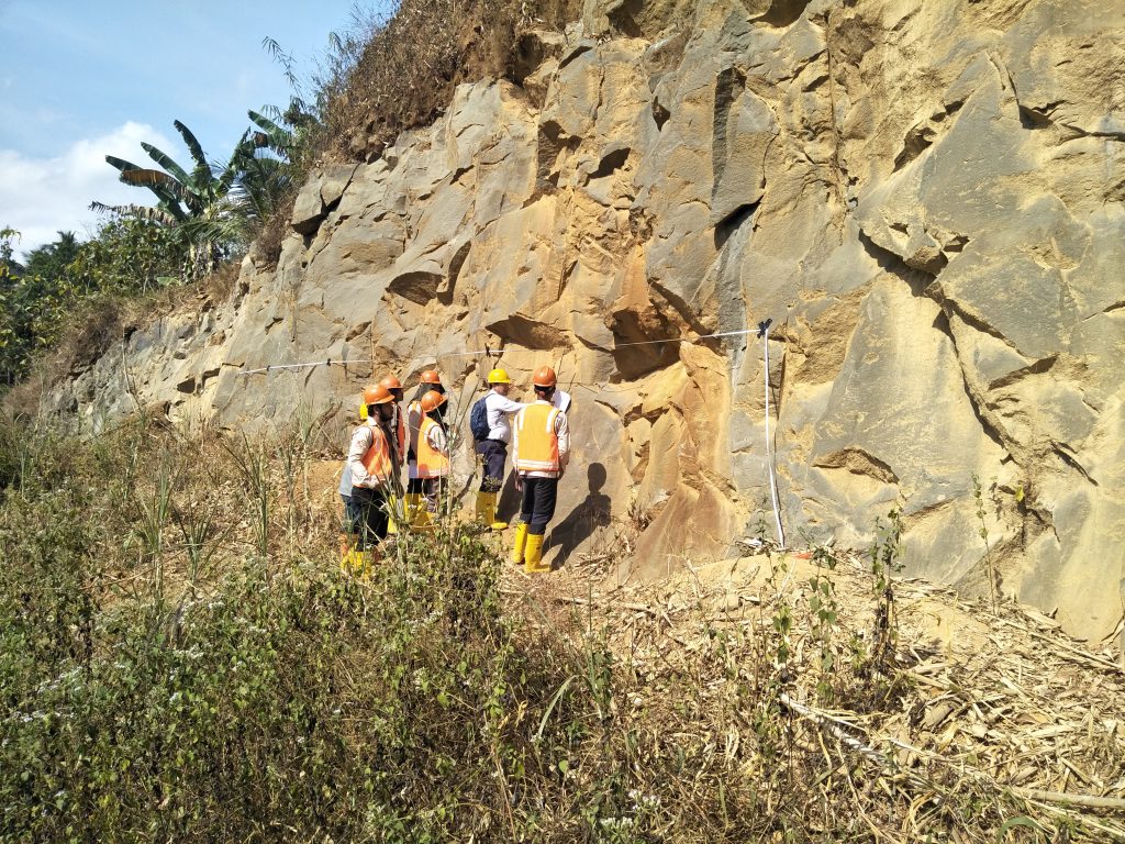
On the fourth day, August 8, 2019, students carried out scanline measurements and mapping using the Total Station tool. Scanline measurements were carried out on columnar joints at Mount Parang. This scanline measurement aims to determine the general direction of the joint as well as the RQD (Rock Quality Designation) and RMR (Rock Mass Rating) values of the rocks in Mount Parang. Mapping with the Total Station was carried out in the rice fields next to the LIPI Karang Connect campus. Mapping is done by finding the coordinates of the firing point from two known benchmark coordinates. The number of shooting points whose coordinates will be determined is about 200 points. The coordinates of each of these points will later be plotted in the surfer application to be used as a contour map. On the fifth day, August 9 2019, students conducted excursions on the Lok Ulo, Bukit Dakah and Bukit Pentulu Indah rivers. At Sungai Lok Ulo, students were asked to interview sand miners so that students could understand how the community mining system or small mines work. At Dakah Hill and PentuluIu Indah Hill, students observed the morphology of the areas they had visited in the previous days.
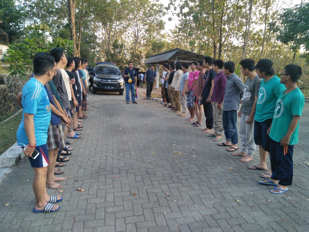
Attached is the documentation for the Karang Connect Field Lecture 5 – 10 August 2019: